Research
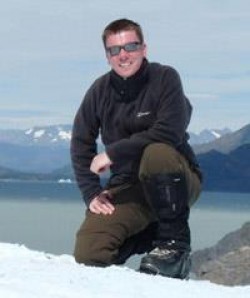
Andy is an avid Geographer with three decades of experience in GIS and remote sensing. His background in research with geospatial analysis and imagery exploitation for defence was born of his time in uniform, learning to fly, while simultaneously being taught aerial survey. He subsequently focused on geomorphology, specializing in glaciology (using field-based and remote sensing techniques) and geophysical hazards, particularly mass-movement. More recently, Andy has branched out into research concerning ecology, archaeology, and forensic science. His research both investigates and employs a wide range of geomatic techniques, whether terrestrial/close-range, airborne, or orbital. These include TST, GNSS, laser scanning, and multispectral imaging. However, Andy’s most active and long-standing research activities make use of photogrammetry and SAR/InSAR.
Publications
Journal articles
Chapters
Conferences
Other
Grants
Grants
This page is a shortened version of a BU academic profile. To view the complete profile, visit our Staff Profiles site.
